
Plateau uses Ground-penetrating Radar along with a range of other geophysical methods to characterize subsurface conditions. Our services cover a broad range of field applications including environmental, geological, engineering, mining, forensics, archaeological, monitoring, QC and QA.
Geophysical Services
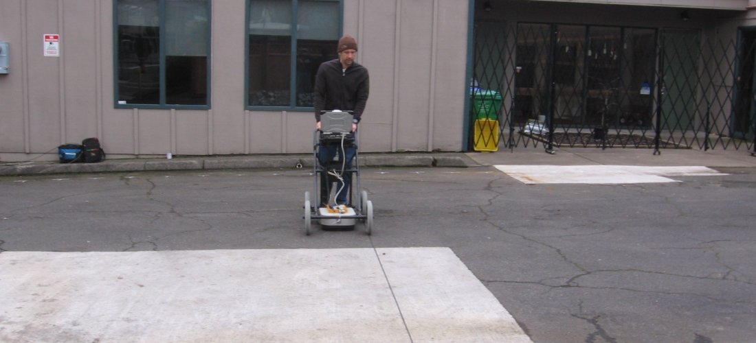
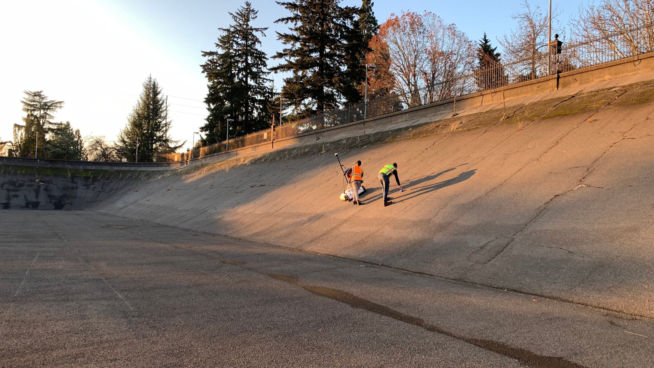
Ground-penetrating Radar (GPR) is a nondestructive geophysical method that uses electromagnetic radiation in the microwave band (UHF/VHF) to characterize subsurface conditions. This versatile method is ideal for determining concrete condition, locating and delineating buried utilities, identifying subsurface voids, mapping settlement beneath concrete or asphalt surfaces, mapping contaminate plumes, locating underground storage tanks, mapping archaeological sites, and general shallow geology mapping. Plateau can provide quick and efficient 2D and 3D GPR surveys of a site or existing building where space is limited. GPR can be used as a stand-alone survey method or when combined with our other geophysical services provide a more detailed and robust interpretation of the subsurface. Plateau uses state-of-the-art software that includes the capability to import, reprocess, and interpret data acquired from a variety of commercial GPR systems worldwide.
Why use GPR over other geophysical methods?
GPR is ideal for mapping specific areas of interest in a variety of environmental settings. Unlike EM surveys, resistivity surveys, or magnetometry, GPR can map features of all different compositions, including wood, stone, and metal. It is also the only near-surface geophysical technique that can provide reasonably accurate depths to targets of interest, making it an ideal tool for the exploration of environmental, construction, and archaeological sites.
Locating utilities using SUE ASCE 38-02 standards
Void exploration and confirmation
Mapping landfills and their boundaries
Buried debris (including waste decomposition status)
Locating and assessment of Underground Storage Tanks (UST)
Contaminant plume delineation and mapping
Environmental studies and assessment
Sinkhole investigations and mapping
See some of our related projects here