
GEOPHYSICAL SURVEY STATE HIGHWAY 20, ALBANY OREGON
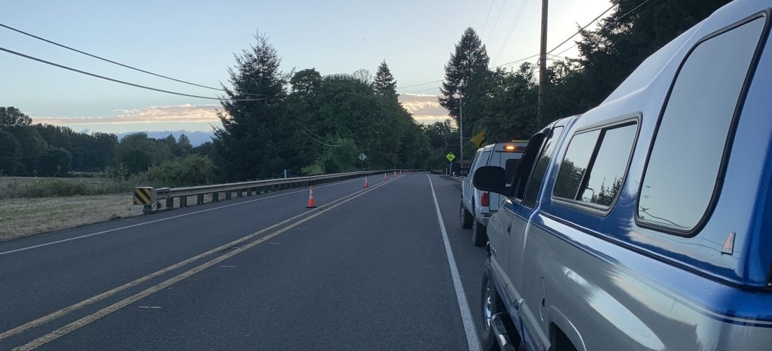
Oregon Department of Transportation will be upgrading portions of State Highway 20 between Albany and Corvallis, Oregon, to improve the roadway with wider lanes, bike facilities, signs and road markings. Plateau Geoscience Group, subcontracted to Foundation Engineering Incorporated, conducted a Ground-Penetrating Radar (GPR) survey of portion of the road for the upgrade project. The purpose of the survey was to identify the longitudinal edge of the original Portland Cement Concrete (PCC) lanes that were constructed in 1925. Plateau collected radar data along profiles located perpendicular to the road lanes and the data were processed using GPR-Slice 3D software to generate 2D images of the subsurface. In addition, radar data was collected profiles in a grid pattern for selected segments of road and processed to generate 3D images of the subsurface beneath the grid area. The processed data revealed the original PCC slab as well as other features including localized subbase deformation, historic buried Willamette River side-channels, and post-1925 highway construction additions. Final reports for Phase 1 and Phase 2 of the project have been submitted.
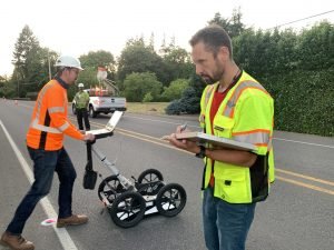
Collecting radar data for 2D GPR images.
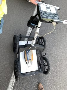
Rough Terrain cart with 800 MHz bi-static antenna and Tough Book for data recording.
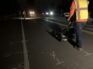
Collecting radar data in grid for 3D GPR images.
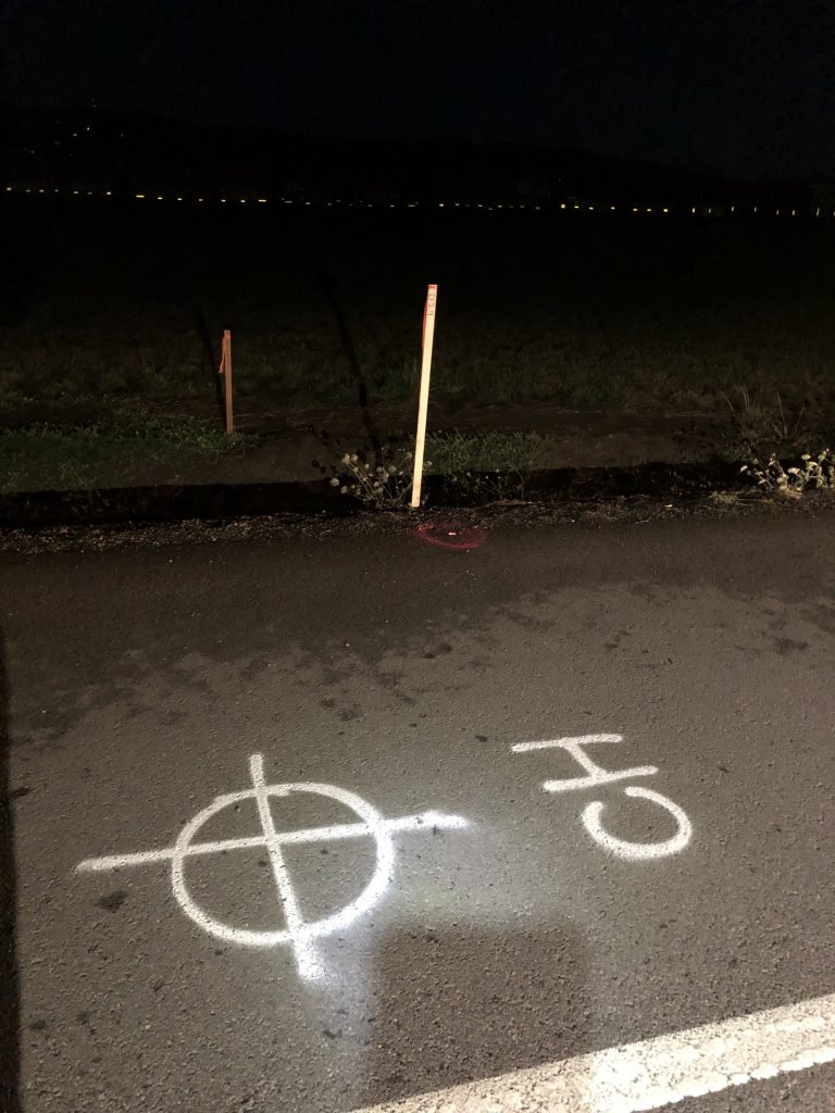
Markings for geotechnical borings using GPR profile data to aid in final locations.