Geophysical Projects
DAY CARE FACILITY UTILITY LOCATE, PORTLAND OR

Plateau Geoscience conducted a Ground-Penetrating Radar (GPR) survey to determine whether a sewer line was present in an area proposed for construction at a day care facility in Portland, Oregon. The GPR survey was made in the facility’s entrance area and in the central portion of the parking lot. The raw data was collected onsite then processed using GPR Slice v7.0 software. A sewer line was not identified in the entrance area, and a shallow trench ending at a subcrop of basalt was identified in the central portion of the parking lot.
GEOPHYSICAL SURVEY STATE HIGHWAY 20, ALBANY OR

Oregon Department of Transportation will be upgrading portions of State Highway 20 between Albany and Corvallis, Oregon, to improve the roadway with wider lanes, bike facilities, signs and road markings. Plateau Geoscience Group, subcontracted to Foundation Engineering Incorporated, conducted a Ground-Penetrating Radar (GPR) survey of the first three segments of the upgrade project. The purpose of the survey was to identify the longitudinal edge of the original Portland Cement Concrete (PCC) lanes that were constructed in 1925. GPR profiles were measured perpendicular to the road lanes and the data processed using GPR-Slice 3D software. The processed data revealed the original PCC slab as well as other features including localized subbase deformation, historic buried Willamette River side-channels, and post-1925 highway construction additions. GPR processed data will be used to aid in locating geotechnical boring locations and during highway construction to protect the underlying PCC slab.
THRIFTY AUTO, LONGVIEW WA

A geophysical survey was conducted at the Thrifty Automart site located in Longview, Washington, to identify potential environmental issues related to historic use of the site to be addressed prior to a future property sale. One historic use of the site was as a gasoline station. An initial detailed electromagnetic (EM) investigation was performed across the site using a Geonics EM-61 MK2 to identify potential metal objects in the subsurface. The data was modeled using Surfer 9 to produce a site map showing identified anomalies. A ground-penetrating radar (GPR) investigation using a Mala Easy Locator (350MHz antenna) was made of each anomaly identified by the EM method. Subsurface object dimensions were marked on the pavement and geolocated using a handheld Trimble GHX global positioning system system (GPS) unit. Three underground storage tanks were identified, along with storm water lines and product lines in a back-filled trench.
JACK SLADE’S COFFIN, SALT LAKE CITY UT
Background
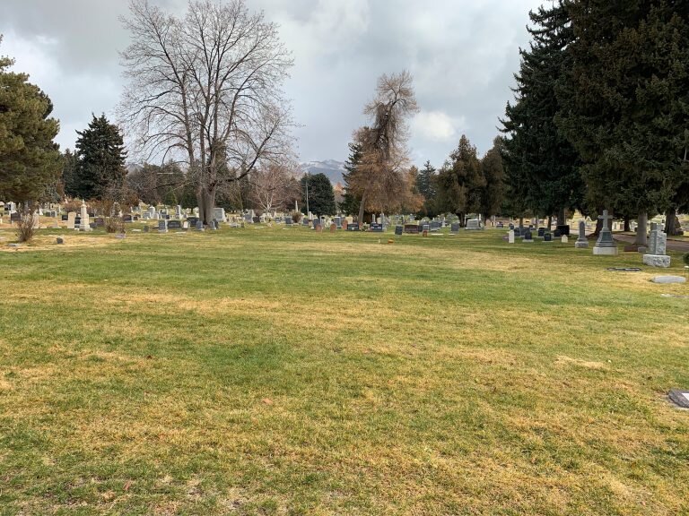
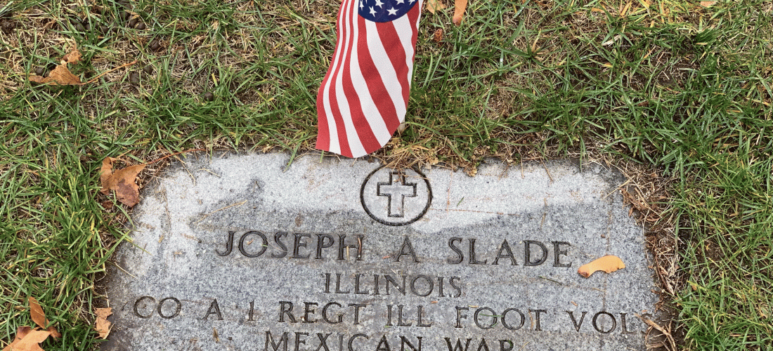
A 3 dimensional (3D) Ground Penetrating Radar (GPR) mapping of the Stranger’s Plat B-4, Salt Lake City Cemetery, Salt Lake City, Utah was conducted for the purpose of locating a buried metal lined coffin that reportedly contains the body of Joseph “Jack” Slade pickled in whiskey. Joseph “Jack” Slade was a stagecoach and Pony Express superintendent, instrumental in the opening of the American West. His notoriety came about due to being included in Mark Twain’s first book “Roughing It”. During a drunken spree in Virginia City, Montana, he was lynched by local vigilantes on March 10,1864, for disturbing the peace. In order to keep Slade from burial in “boot hill”, his wife Virginia had a metal lined coffin constructed into which his body was placed along with a barrel of whiskey as a preservative. In July, 1864, Virginia brought the coffin to Salt Lake and placed it in a temporary grave in “Stranger” Plat B-4 at the Salt Lake City Cemetery with instructions for the coffin “to be removed to (Carlyle) Illinois in the fall”. Virginia never returned. A specific location of the buried coffin within the 20×50 m Plat B-4 was not recorded.
Scope
The scope of this project was to locate the coffin and confirm that it was Jack Slade’s. The project came about because of a Historian’s request to have what’s left of the coffin disinterred and moved to Illinois. Because the wood coffin shell would’ve completely disintegrated after 150+ years, 3D GPR mapping was employed. A MALA X3M GPR system was used to collect 224 2D GPR profiles. Total length of profiling was 2,964 meters. Data was processed in both 2D and 3D using GPR-Slice software (www.GPR-Survey.com).
Results
Extensive 3D processing and imaging of all 2D GPR data was successful in locating the anomaly of Jack Slade’s disintegrated wood coffin . Additional detailed analysis of that 3D volume was required to verify the presence of a metal lining.