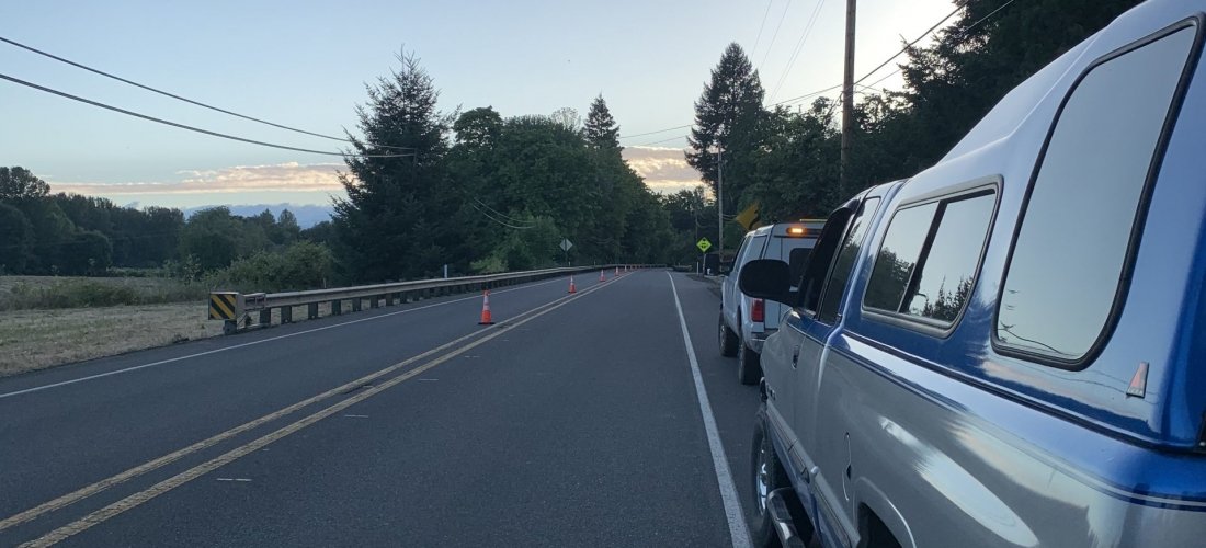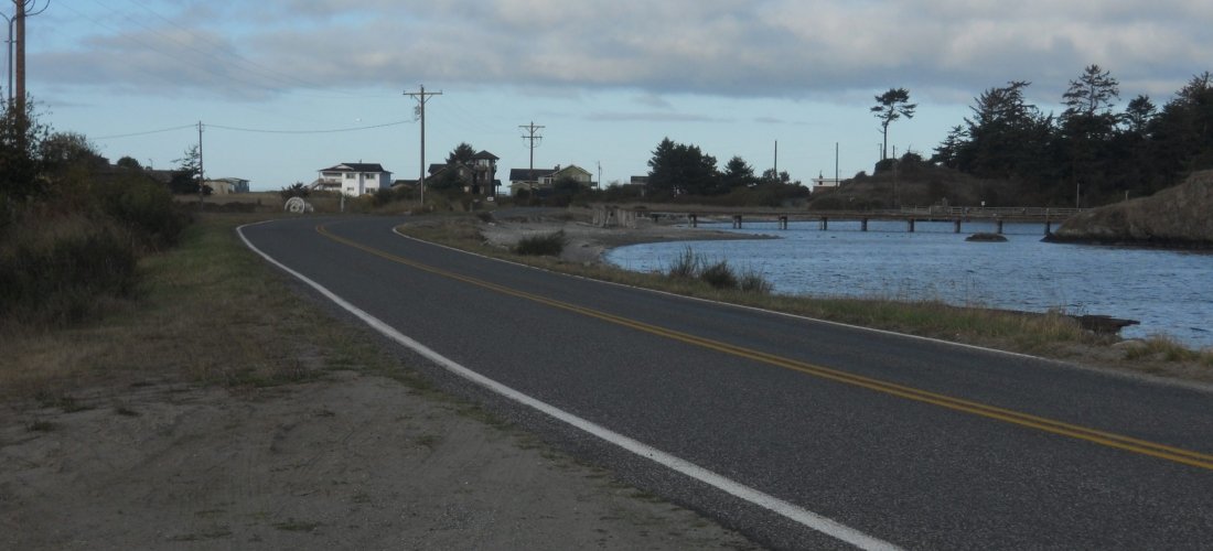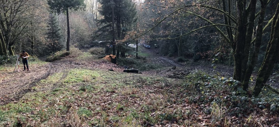
Plateau provides clients with a clear insight into their data allowing them to make decisions and present complex arguments to readers and regulators with accurate data visualization that will be intuitively understood. We use advanced equipment to precisely locate points of interest. Plateau staff has extensive GIS experience working with digital data in both vector (planimetric maps) and raster formats (digital elevation models, image data), data collection and conversion, spatial analysis, database creation, data modeling and analysis.
Data Management and GIS
High Accuracy GPS location finding
GIS data integration and mapping
Database development and management
Project management
Small business/certified subcontractor


