
MACKAYE HARBOR ROAD RELOCATION PROJECT
Plateau Geoscience Group performed a geologic evaluation of alternative proposed road alignments for MacKaye Harbor Road in the face of continued climate change and expected rise in sea level. The MacKaye Harbor Road project is located at the southern end of Lopez Island, Washington. MacKaye Harbor Road is a the main paved road providing access to residences, Agate Beach County Park, and Iceberg Point National Monument, and is situated slightly above mean sea level with road instability resulting from high tide wave erosion. The project area is underlain by Mesozoic metasedimentary rocks, Peistocene continental glacial drift, and Quaternary beach and peat deposits. The project terrain includes uplands underlain by bedrock, low-lying areas identified in the National Wetland Inventory Map as wetlands that include peat deposits, and shoreline areas. Six road relocation alternative routes were evaluated that would provide area access with a projected 12-foot rise in sea level. Recommendations were provided for each of the relocation alternatives regarding unsuitable soil, potential slope instability, hydrologic conditions, and modifications to proposed road alignments.
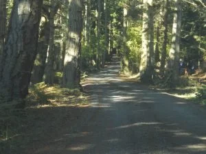
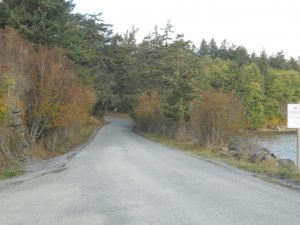
One proposed alternate road alignment in transitional terrain north of bedrock terrain underlying Iceberg Point.
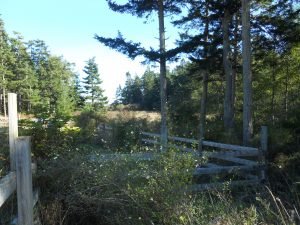
Supratidal area west of Aleck Bay potentially inundated with rising sea level.
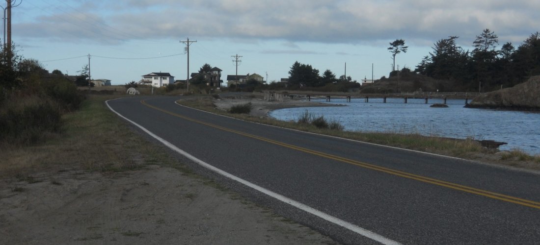
View north of west margin of Outer Bay potentially inundated with rising sea level.